The 2008
Kalamazoo, Michigan Flood, Page 5 of 7: Downtown Kalamazoo - The
Intersection of Portage St. and East Walnut St.
| << Previous Page | Next Page >> | Email Me | Main Page |
The images on this page were taken in downtown Kalamazoo on or near the intersection of Portage St. (a major road in Kalamazoo) and E. Walnut St. I took the first picture on Friday, October 3, 2008 (two weeks after the floodwaters receded) to show what the area looks like under normal conditions. The remaining pictures highlight the progression of the flood between Monday, September 15, 2008 and Thursday, September 18, 2008 as the Portage Creek (a tributary of the Kalamazoo River) continued to rise. The flood waters did not recede from this intersection until the following weekend.
Scroll down to view the images or click here to view the next page highlighting the flooding along S. Rose St. (just to the north of Stockbridge Ave.) around Crosstown Park.
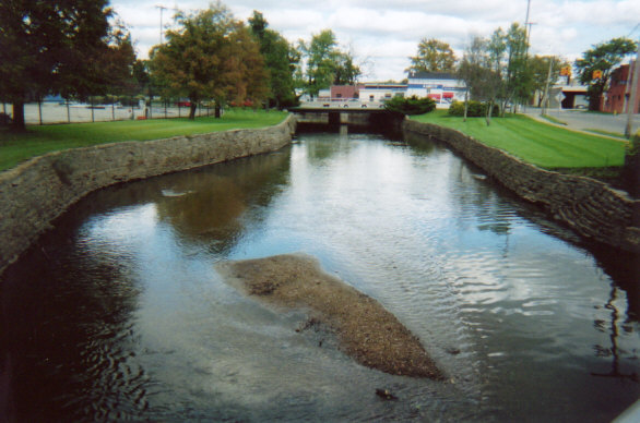
This is what the Portage St. bridge over Portage Creek looks like under normal conditions.
I was standing on the E. Walnut St. bridge when I took this picture.
[Click the image to view a larger version]
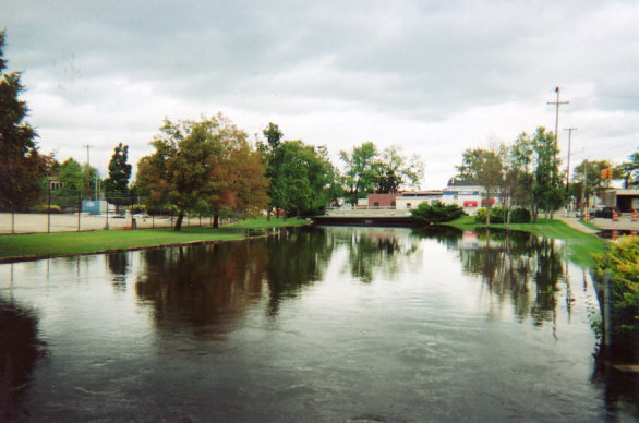
But this is what it looked like on Monday, September 15, one day after the heavy rain stopped.
The water was beginning to overflow the banks of the Portage Creek.
[Click on the image to view a larger version]
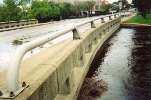
Water was even beginning to flow over the E. Walnut St. bridge on Monday, September 15.
[Click on the image to view a larger version]
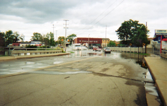
However, it didn't seem to be all that bad yet. Cars were still able to drive through the shallow water.
[Click on the image to view a larger version]
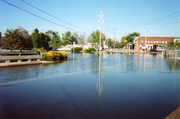
But that didn't last long. This picture was taken on Thursday, September 18.
E. Walnut St. and Portage St. were closed to traffic as the floodwaters overwhelmed the intersection.
[Click on the image to view a larger version]
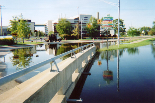
This final picture shows the flooding over the Portage St. bridge on Thursday, September 18.
[Click on the image to view a larger version]