The 2008
Kalamazoo, Michigan Flood, Page 7 of 7: Flooding from West (South Park
St.) to East (Mills Street)
| << Previous Page | Next Page >> | Email Me | Main Page |
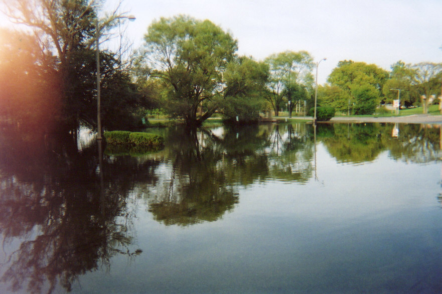
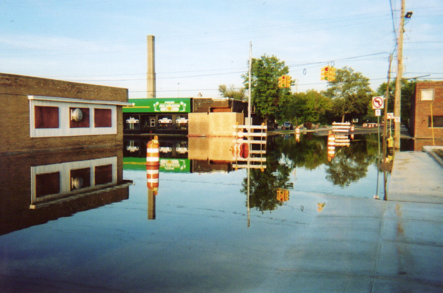
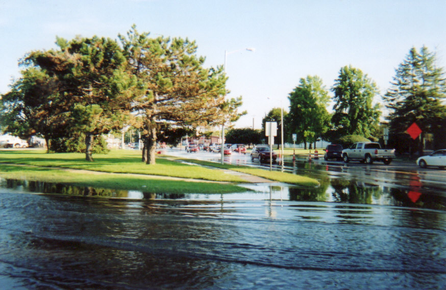
This page contains three final photos. The flooding stretched across much the city of Kalamazoo, primarily following Crosstown Parkway from west to east. All direct routes from the south into the downtown area were closed, including S. Park St., S. Rose St., S. Burdick St., and Portage St.. The first photo on this page shows the western extent of flooding that closed S. Park St. just to the north of Crosstown Parkway. The second photo shows the eastern extent of the flooding that closed Mills St. at Crosstown Parkway. The third photo shows flooding at the intersection of Mills St. and the Kings Highway. The Kings Highway is a major route into downtown Kalamazoo from the east.
Scroll down to view the images or click here to return to the main gallery page.

The Axtell Creek flows over S. Park St. near Crosstown Parkway.
I was standing in the flooded parking lot of the National City Bank.

Flooding at Poor Richards Cafe on the intersection of Mills St. and Crosstown Parkway.

Flooding at the intersection of Mills St. and the Kings Highway.